Remote sensing based measures of tree diversity in the Southern Ecuadorian Andes
Annika Niepoth
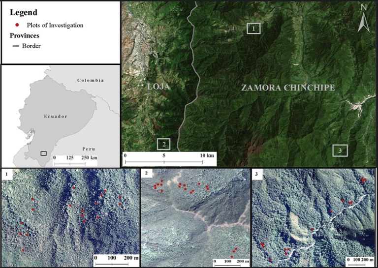
The South Ecuadorian Andes are one of the hottest global hotspots of biodiversity and currently threatened by land use and climate change. Forest structure and composition are crucial factors for understanding the capacity of forest support species in changing environments. In order to prioritize limited conservation resources a better understanding of tree diversity patterns is needed. The use of image texture measures, as a proxy for spatial and forest structure has shown useful possibilities in explaining patterns of tree diversity and species richness. My goal was to evaluate the performance of different texture measures on NDVI, EVI and two broad-band combinations on high resolution (0.3m) aerial photography to predict tree diversity. Bayesian Model Averaging (BMA) was used to relate in situ measurements of tree diversity to measures of image texture. Texture explained up to 44.7% of the variability of tree diversity with measures related to habitat heterogeneity, particularly variance, providing highest explanatory power. Image texture measures bear considerable potential for predicting tree diversity in the tropics and can contribute to improvements on conservation efforts and management planning.

