Boosting Methods for Statistical Classication of Spatial Geographic Phenomena
Max Schneider
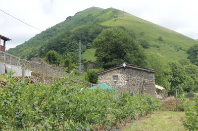
Agricultural abandonment (AA) is a significant land use process in the European Union (EU) and modeling its driving factors has great policy interest. Past studies of drivers of AA in Europe have been limited by their restricted geographic regions and their use of traditional statistical methods which fail to consider the spatial variation in both predictors and AA itself. In this study, we broaden our experimental region to cover the EU, which is the level on which the Common Agricultural Policy (CAP) operates. We implement a modeling framework based on boosted regression with spatially-varying terms, which allows to assess the importance of the spatial relationship between the drivers and AA. The potential drivers come from a set of over 40 environmental, socio-economic and policy-related variables hypothesized to influence AA, which is derived using fallow-active classifications of agricultural land from satellite images over the period 2001-2012. Models built with spatially-varying terms outperform those with only spatially-constant components, signifying that the spatial component is relevant in modeling and thus understanding AA. Six drivers of AA are identified by this model and their corresponding spatial coefficient maps show where they positively and negatively influence the probability of abandonment and by how much. These maps, particularly that for the GDP driver, reveal new insights on the economic distribution of AA. Hotspots and target areas that would benefit from an increase in GDP can be isolated, which differ markedly from how funding is dispersed within the CAP. Further implications for agricultural policy in Europe are discussed.

