Data integration and Data Mining
Data integration and data mining of large spatial datasets to develop a health risk model
(German: Datenintegration und Data Mining von grossen Geodatensaetzen zur Entwicklung eines Risikomodells des urbanen Gesundheit)
The analysis of urban health and the underlying environmental and socio-economic factors has become one of the most pressing topics in this century. The amount of available data has rapidly grown within the last years and is very diverse and heterogeneous regarding its temporal and spatial dimensions as well as in terms of data format, quality, and semantics.
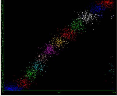
In order to understand the interlinkages between the different underlying factors and the health risk our approach is to find clusters, associations and relations within these large spatial datasets. Modern informatics developments in data integration and data mining are investigated in this project to explore their benefits for the spatio-temporal dimension. Spatial environmental, socio-economic and health data of the city of Berlin is used to develop a health risk model.

Principal Investigators:
Tobia Lakes (Geomatics Lab, Geography Department,
Humboldt-Universität zu Berlin)
Ulf Leser (Knowledge Management in Bioinformatics,
Institute for Computer Science, Humboldt-Universität zu Berlin)
Project Investigator:
Cornelius Senf (Humboldt-Universität zu Berlin)
Funding:
Humboldt Universität zu Berlin, Fakulty price for
interdisciplinary cooperation
