

Dipl.-Inf. Andreas Janz
- Foto
-

- Name
- Dipl.-Inf. Andreas Janz
- Status
- research assistant
- andreas.janz (at) geo.hu-berlin.de
- Homepage
- https://www.geographie.hu-berlin.de/Members/rabe_andreas
- Institution
- Humboldt-Universität → Präsidium → Mathematisch-Naturwissenschaftliche Fakultät → Geographisches Institut → Geofernerkundung
- Visiting address
- Rudower Chaussee 16 , Room 2'228
- Phone number
- (030) 2093-9331
- Fax
- (030) 2093-6848
- Mailing address
- Unter den Linden 6, 10099 Berlin
Research interests
Remote sensing methods, image processing, maschine learning, time series analysis, big data, API and application development
Curriculum Vitae
|
2007 - now |
Research Assistant, Geography Department, Humboldt-University of Berlin, Germany |
|
2007 |
Diploma, Computer Science, Humboldt-University of Berlin, Germany |
Software projects
EnMAP-Box ![]()
https://enmap-box.readthedocs.io
Raster Data Plotting ![]()
https://raster-data-plotting.readthedocs.io
Raster Timeseries Manager ![]()
https://raster-timeseries-manager.readthedocs.io
![]()
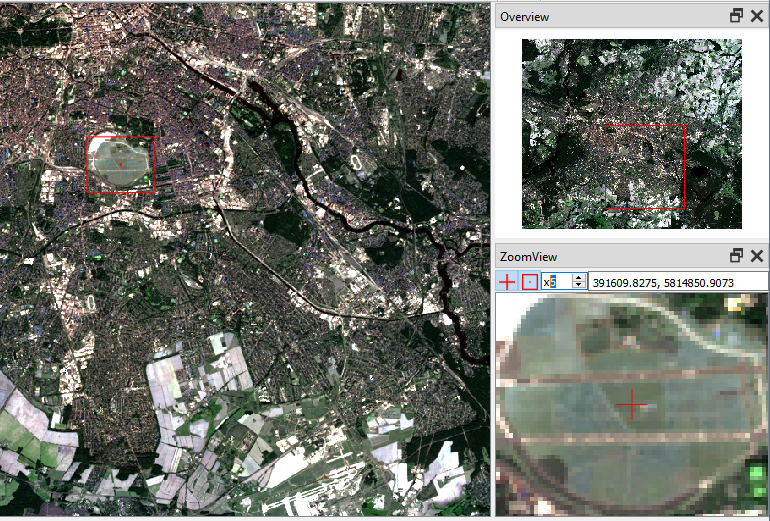
ZoomView ![]()
https://zoomview.readthedocs.io
Selected publications
Dara, A.; Baumann, M.; Kuemmerle, T.; Pflugmacher, D.; Rabe, A.; Griffiths, P.; Hölzel, N.; Kamp, J.; Freitag, M.; Hostert, P. (2018): Mapping the timing of cropland abandonment and recultivation in northern Kazakhstan using annual Landsat time series., Remote Sensing of Environment, 213, 12. 
Guanter, L.; Kaufmann, H.; Segl, K.; Foerster, S.; Rogass, C.; Chabrillat, S.; Kuester, T.; Hollstein, A.; Rossner, G.; Chlebek, C.; Straif, C.; Fischer, S.; Schrader, S.; Storch, T.; Heiden, U.; Mueller, A.; Bachmann, M.; Mühle, H.; Müller, R.; Habermeyer, M.; Ohndorf, A.; Hill, J.; Buddenbaum, H.; Hostert, P.; van der Linden, S.; Leitão, P.; Rabe, A.; Doerffer, R.; Krasemann, H.; Xi, H.; Mauser, W.; Hank, T.; Locherer, M.; Rast, M.; Staenz, K.; Sang, B. (2015): The EnMAP Spaceborne Imaging Spectroscopy Mission for Earth Observation, Remote Sensing, 7, 8830.
Held, M.; Rabe, A.; Senf, C.; van der Linden, S.; Hostert, P. (2015): Analyzing Hyperspectral and Hypertemporal Data by Decoupling Feature Redundancy and Feature Relevance, Geoscience and Remote Sensing Letters, IEEE, 12, 983–987.
van der Linden, S.; Rabe, A.; Held, M.; Jakimow, B.; Leitão, P.; Okujeni, A.; Schwieder, M.; Suess, S.; Hostert, P. (2015): The EnMAP-Box—A Toolbox and Application Programming Interface for EnMAP Data Processing, Remote Sensing, 7, 11249.
Okujeni, A.; van der Linden, S.; Jakimow, B.; Rabe, A.; Verrelst, J.; Hostert, P. (2014): A comparison of advanced regression algorithms for quantifying urban land cover, Remote Sensing, 6, 6324-6346.
Waske, B.; van der Linden, S.; Benediktsson, J.; Rabe, A.; Hostert, P. (2010): Sensitivity of Support Vector Machines to Random Feature Selection in Classification of Hyperspectral Data, IEEE Transactions on Geosciences and Remote Sensing, 48, 2880-2889.
Knorn, J.; Rabe, A.; Radeloff, V.C.; Kuemmerle, T.; Kozak, J.; Hostert, P. (2009): Land cover mapping of large areas using chain classification of neighboring Landsat satellite images, Remote Sensing of Environment, 113, 957-964.
van der Linden, S.; Janz, A.; Waske, B.; Eiden, M.; Hostert, P. (2007): Classifying segmented hyperspectral data from a heterogeneous urban environment using support vector machines, Journal of Applied Remote Sensing, 1, 013543.